Geopager presents drone navigation system at Tatarstan Ministry of Digitalization
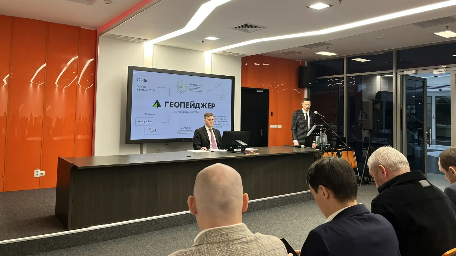
Geopager presented its activities and introduced a navigation system project for unmanned transport.
Geopager Company is a resident of Innopolis and the Kazan IT Park and specializes in developing navigation and communication systems. Geopager is among the top 40 best global startups and its team includes students and graduates from universities in Tatarstan, Novosibirsk and Tomsk.
Many modern airspace monitoring systems operate using GPS trackers. These devices have limitations: they cannot indicate how high an object is and signal strength often depends on weather and other external conditions.
Geopager offers a unique Local Positioning System (LPS) for spatial monitoring, which identifies objects with accuracy up to 0.1 meters and is unaffected by weather conditions. The technology is based on a network of sensors — "geopixels" — installed on buildings at various heights. Each geopixel has precise geo-coordinates and registers changes in the space. The system, which covers an area like a dome, can recognize any moving or stationary object and eliminates data leaks.
How the system can be used:
• Drone Protection
The "Zasechnaya Cherta" (Detection Line) system detects and tracks drones of any type and size. Sensors are placed on urban infrastructure and along roads surrounding the city. The system tracks a drone's flight path with a margin of several hours and determines its speed. "Zasechnaya Cherta" provides instant alerts to emergency services and residents when drones appear, enhancing the safety of cities and strategic facilities.
• Building Air Corridors for Cargo Transportation
The solution determines the optimal air route for cargo delivery. Drones fly autonomously along a clearly defined corridor. Geopixels monitor the boundaries of this corridor and detect any objects larger than a sparrow inside or outside it. The system can reduce cargo delivery costs by up to 40% and can be used by stores, agricultural holdings, marketplaces, municipal services, and mining enterprises.
• Digital Supervision of Industrial Sites
The platform creates a digital twin of an enterprise's territory and tracks the movement of equipment and personnel, as well as infrastructure conditions, in real time. The technology helps monitor hazardous zones and prevent incidents at industrial facilities. The system can also be used to monitor waste removal, with sensors transmitting data on container movement and fill levels.