The Innopolis University to hold the second geoinformation hackathon
20 April 2018, Friday
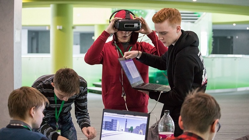
On May 19-20, the second geoinformation hackathon “Cartomancy” will be held at the Innopolis University and will gather developers to create working prototypes of data processing technologies for remote sensing of the Earth in the area of machine learning and photogrammetry.
The participants of the hackathon will choose one of the six proposed areas:
• Agricultural industry
• Monitoring of protective zones
• oil extraction
• Navigation and maps
• city and environment
• Photogrammetric data processing
The authors of the best project will receive 200,000 roubles, and the most promising teams will get the opportunity of partnership with the Innopolis University.
SUBSCRIBE FOR NEWS
All content on this site is licensed under
Creative Commons Attribution 4.0 International
If you see a mistake,
please select the word or sentence and press CTRL+ENTER